
Henrico County ZIP Code Coverage
Henrico County has a working research inventory of postal ZIPs, not a set of county boundaries. Some entries are shared with Richmond, some are special or portion-of-county postal uses, and several are useful only as an address clue. The table preserves the community and postal notes documented in the research. It does not claim that a ZIP lies wholly within Henrico County or that every address in it belongs to the county.
| ZIP code | Community or postal clue | Documented postal note | Address check |
|---|---|---|---|
| 23058 | Glen Allen-area postal ZIP | Verify the exact address | USPS, then parcel/GIS cross-check |
| 23059 | Glen Allen | Verify current preferred city | USPS address result controls |
| 23060 | Glen Allen | Western or northern Henrico address clue | USPS address result controls |
| 23075 | Highland Springs / Henrico | Henrico preferred; Richmond alternate | Verify the full street address |
| 23150 | Sandston | Eastern airport-area postal clue | Verify the street |
| 23222 | Shared Richmond / Henrico | Richmond preferred; Henrico accepted | Check the exact parcel |
| 23223 | Shared Richmond / Henrico | Richmond preferred; Henrico accepted | Eastern Government Center uses this ZIP |
| 23226 | Shared Richmond / Henrico | Richmond preferred | Check the exact parcel |
| 23227 | Shared Richmond / Henrico | Richmond preferred | Check the exact parcel |
| 23228 | Henrico postal community | Henrico preferred; Richmond alternate | County Government Center uses this ZIP |
| 23229 | Western / Tuckahoe-area clue | Henrico preferred; Richmond alternate | Verify full address |
| 23230 | Shared Richmond / Henrico | Richmond preferred | Verify street and parcel |
| 23231 | Varina / eastern Henrico clue | Henrico preferred; Richmond alternate | Verify full address |
| 23233 | Western Henrico | Henrico preferred; Richmond alternate | Verify full address |
| 23238 | Western Henrico | Henrico preferred; Richmond alternate | Verify full address |
| 23242 | Special or portion-of-county use | Henrico preferred | Verify the address |
| 23250 | Airport / RIC-related use | Henrico preferred | Verify facility or address |
| 23255 | Special or portion-of-county use | Henrico preferred | Verify the address |
| 23288 | Special or portion-of-county use | Henrico preferred | Verify the address |
| 23294 | Western or northern Henrico clue | Henrico preferred; Richmond alternate | Verify full address |
Only USPS can return the current assignment for a complete street address. County planning maps and tax or DMV tables can show related postal geography, but the research did not locate a current official Henrico street-by-street ZIP boundary dataset.
Henrico County ZIP Code Names
Myth: a city name attached to a ZIP code proves the municipality where the parcel sits. USPS defines ZIP codes through delivery routes and post offices, not municipal borders. That distinction matters in Henrico County, which wraps around Richmond and has shared postal areas. A Richmond postal label can be valid for a Henrico address, and a Henrico label does not settle jurisdiction by itself.
The county's 2008 USPS notice is the local example. Effective October 1, 2008, USPS preferred Henrico for 23075, 23228, 23229, 23231, 23233, 23238, 23242, 23250, 23255, 23288, and 23294, while Richmond remained an alternate. For shared 23222, 23223, 23226, 23227, and 23230, Richmond remained preferred and Henrico was accepted. Delivery routes and ZIPs did not change, and no formal address change was required.
Use that history to reconcile an old Richmond directory entry with a later Henrico postal label, not to infer a move or annexation. The authoritative current check remains the USPS full-address result followed by the county parcel map.
Henrico County USPS ZIP Fields
The official USPS tool offers separate modes for a live address, a city-and-state search, and recognized city names for a ZIP. Each mode answers a postal question. None confirms that a person or company is at an address. Use the address mode when the street is known, because it is the documented way to test the exact current delivery assignment.
| USPS mode | Fields captured | Result or control |
|---|---|---|
| By Address | Street Address, City, State; optional Company, Apt/Suite/Other, ZIP | Find; add unit or street detail when more than one match appears |
| By City and State | City, State | Find; returns ZIPs associated with the city name |
| Cities by ZIP Code | ZIP Code | Find; returns recognized city names |
| Location Finder | City and State or ZIP, Street Address, location type, radius | Search/See All with filters and sort |
| Postmaster Finder | From ZIP first three digits; To ZIP first three digits | Search/Clear; historic and current assignments can differ |
Use the USPS ZIP Code Lookup for the tabbed full-address workflow.
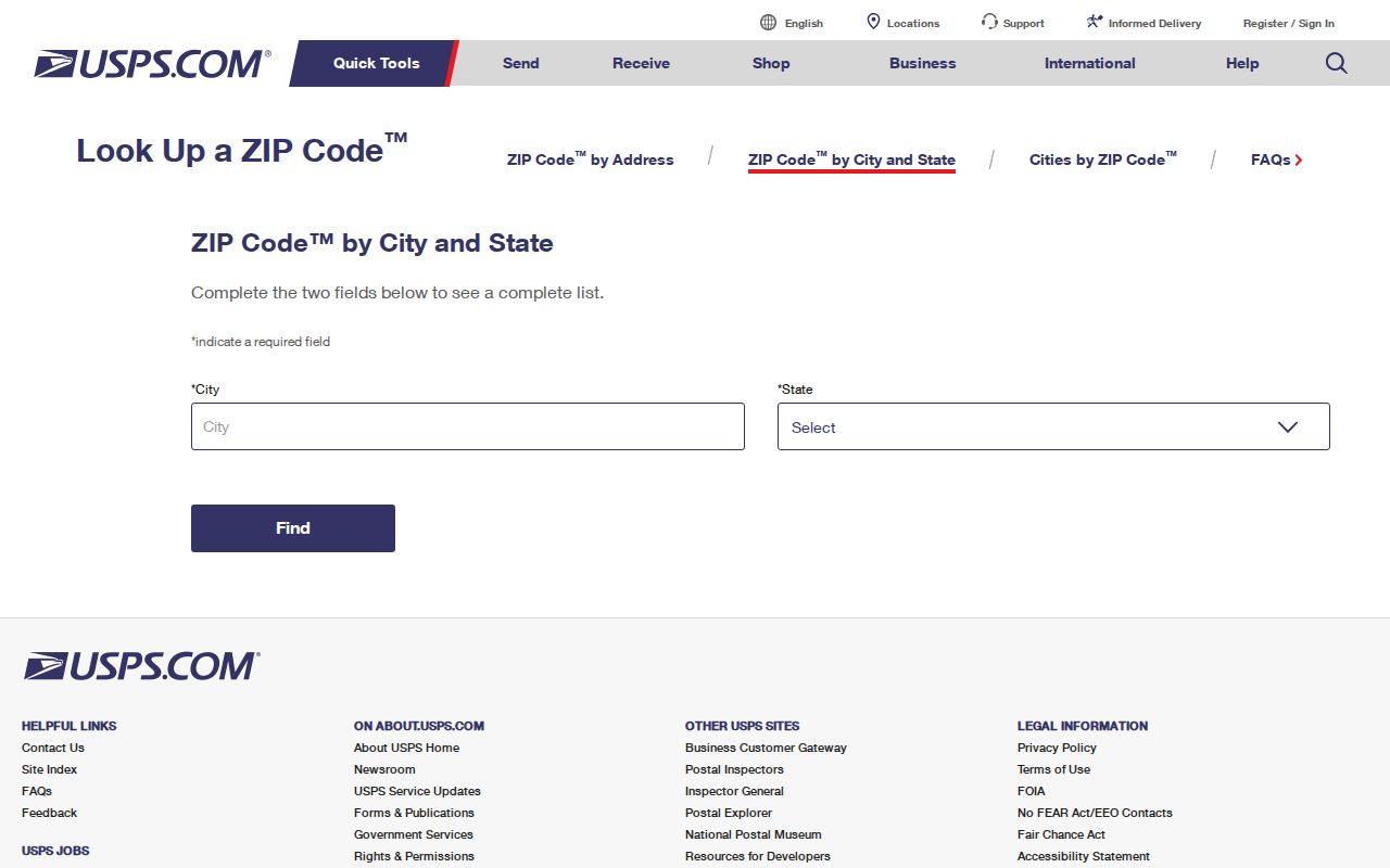
The address, city-and-state, and cities-by-ZIP modes separate postal assignment from the county record searches that follow.
Search a Henrico County ZIP
A Henrico County ZIP code can narrow a postal spelling problem, but it is not a filter for a countywide people list. The county assessment portal does not document a ZIP search field, and the voter status tool is not bulk access. Use the ZIP to normalize the full address, then move through the address and parcel fields that the county actually publishes.
- Run the complete street address through USPS By Address. Record the returned ZIP and recognized postal city, including any unit needed to distinguish the delivery point.
- Search the Henrico assessment portal by Street #, Prefix, Street Name, and Unit. If a result is missing, try the postal community variant or omit the unit.
- Copy the GPIN or PID from the assessment result and inspect it in the Henrico Public GIS Viewer. The map supplies parcel and jurisdiction context, not a ZIP boundary.
- When recorded ownership is the question, use the parcel's legal description or party details in the Virginia SRA land-record route. A recorded instrument is stronger evidence than a postal label.
- For an individual voter-status question, use the Virginia lookup only with the required name, date of birth, last four Social Security digits, locality, and certification. Do not treat it as a ZIP-wide voter search.
Once a ZIP has led to one verified street address, the detailed parcel and deed sequence belongs in the Henrico County street directory. Search historical directories under both Henrico and Richmond labels when a greater-Richmond collection uses the older postal form.
Henrico County ZIP GIS Check
The GIS check is where postal geography meets the parcel record. Henrico's RealEstate MapServer exposes Tax Parcels, condo boundaries and phases, subdivisions with boundaries and lots, subdivision sections, and appraisal areas. Identify the parcel after USPS returns the address, then compare its GPIN, map position, subdivision context, and legal description if the county question matters.
This step is especially important for the shared ZIPs in the inventory. A delivery route can cross an edge area while the parcel remains a Henrico County record. The county map is a reference source and carries a disclaimer, so it should be paired with the recorded instrument for a title question.
Henrico County ZIP Service Searches
USPS Location Finder adds service-location context after a ZIP is known. It accepts city and state or ZIP, a street address, location type, and a radius, then offers filters and sorting. It can locate a post office, collection box, contract postal unit, kiosk, or other service point. It does not identify a resident or settle the jurisdiction of a parcel.
Use the USPS Location Finder when postal-service context is needed.
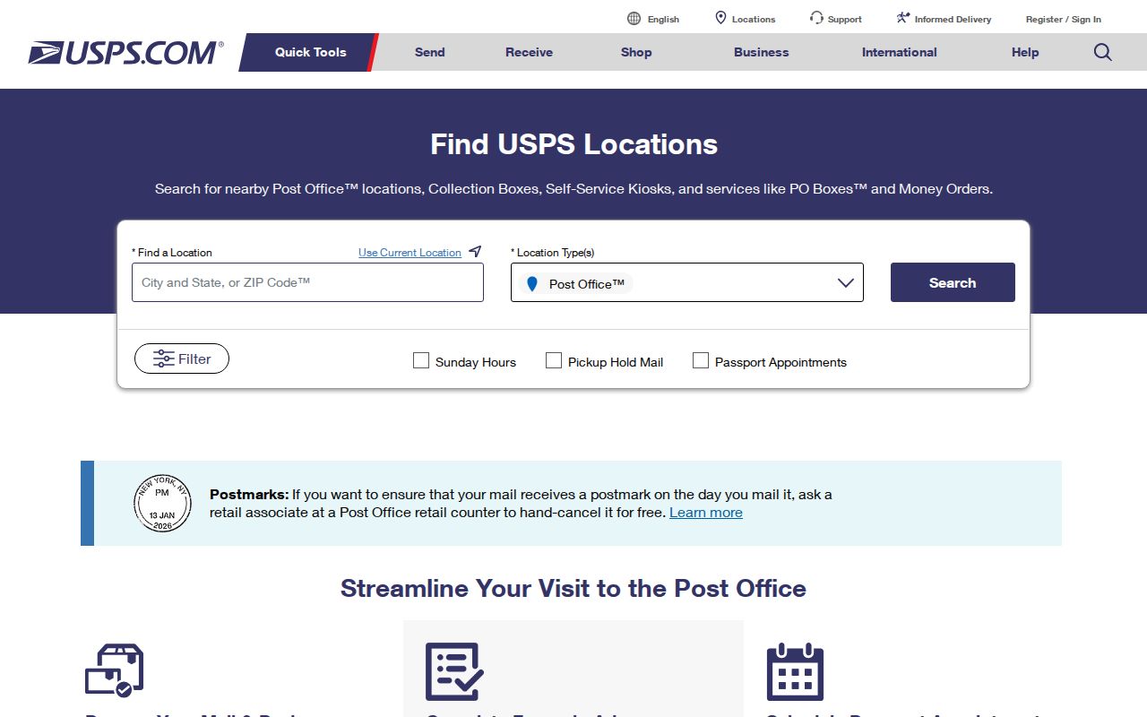
The location search's type and radius controls help find postal services without confusing them with an address or resident record.
The Henrico Business License Inquiry is another address-related county search. Its fields include Licensee Name, Trade Name, Classification, Location Address, date ranges, and Active Licenses Only; results can show a location address, dates, classification, and status. It can provide a dated organization or location clue, not a personal-residence finding.
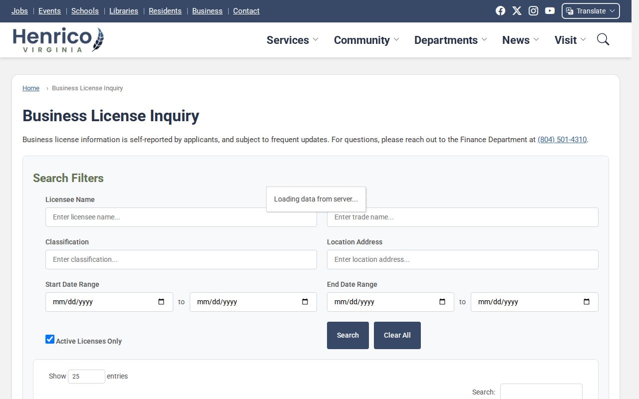
Use the location-address field with the postal result as a spelling check, then confirm the relevant parcel or official record separately.
Henrico County ZIP Code Limits
ZIP code boundaries and county jurisdiction are different systems. A full-address USPS result assigns mail delivery; the GIS parcel check identifies where the mapped parcel sits. The research inventory is deliberately cautious about shared, facility, and portion-of-county ZIPs. Do not use a city label, a ZIP, or a postal-service search as a claim that a person lives at a location.
Privacy limits still apply after an address is normalized. Virginia voter statutes protect actual addresses for covered people, and the Virginia Address Confidentiality Program gives qualifying participants a designated address with identifying records exempt from FOIA. Agencies may redact exempt portions of a targeted Virginia FOIA request. A request should identify an existing record by address, GPIN, date range, permit number, or record type rather than ask the county to create a ZIP-wide database.
Use the narrowest record. A ZIP is a postal clue. Stop at protected information and use public records only for lawful personal, family-history, civic, or property research.
Henrico County ZIP Code Terms
Postal terms are useful only when their limits are clear. They describe mail sorting and delivery, while the county's assessment, GIS, and deed records describe parcels and recorded land interests. Keeping those systems separate makes postal normalization more reliable.
- ZIP code
- A USPS delivery and post-office geography. It is not a municipal boundary or a residency finding.
- ZIP+4
- An added four-digit refinement of a ZIP code that helps narrow delivery. It does not replace the complete street address.
- PO-box ZIP
- A ZIP used to sort mail addressed to post-office boxes. It does not locate a street parcel.
- Unique ZIP
- A ZIP associated with a special postal use or a single large addressee. Confirm the address because such labels are not general area boundaries.
- Carrier route
- A mail-delivery grouping used by USPS. It can describe service routing without proving county jurisdiction.
For historical context, Postmaster Finder searches first-three-digit ZIP ranges and returns post-office and establishment or discontinuance information. USPS cautions that historic assignments can differ from the current result, so use the live address lookup for a current postal question.